Adelanto, California 92301
- Land Property Type
- 141 Days Time on market
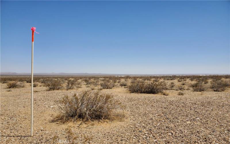
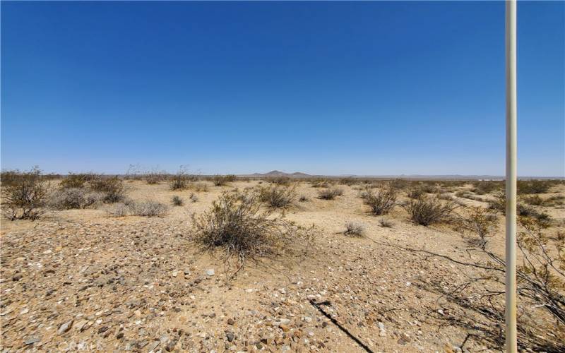
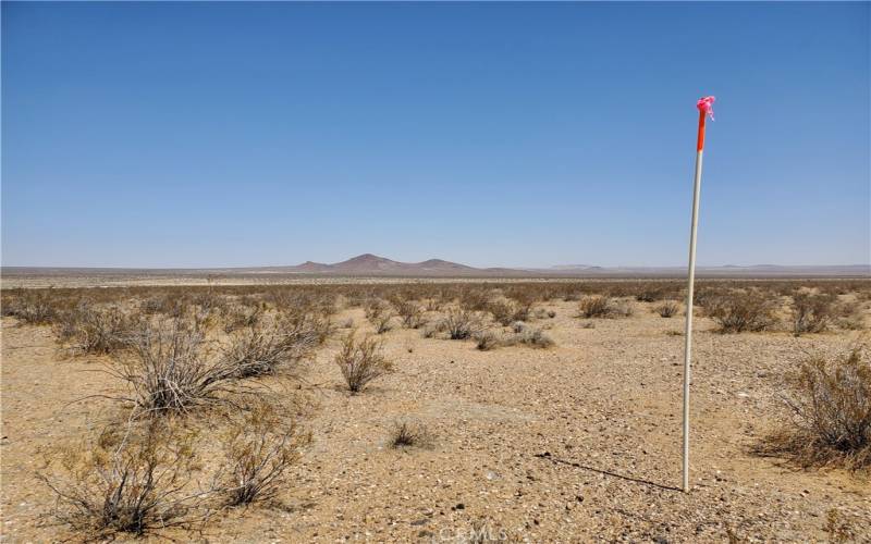
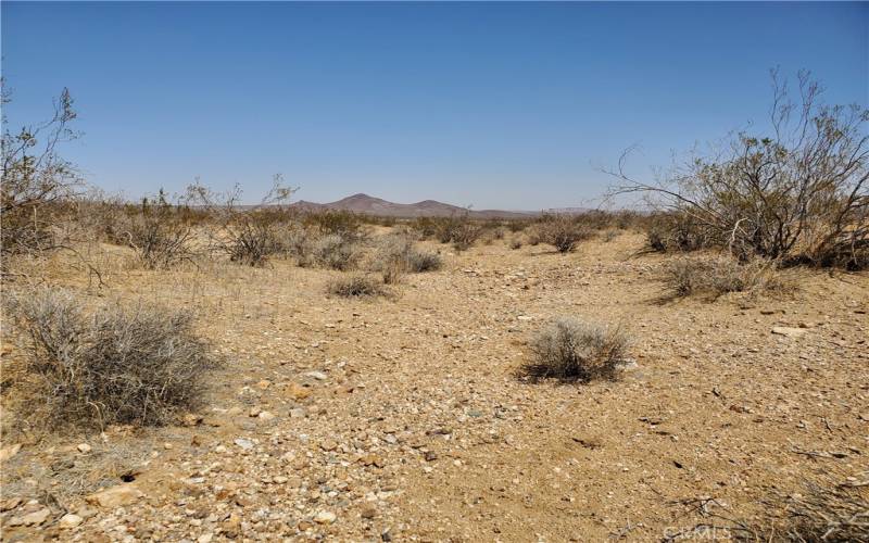
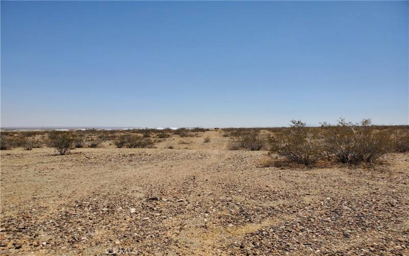
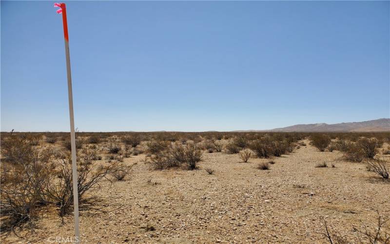
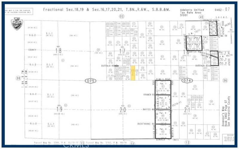
10 Acres (APN: 0462-075-57) GPS: 34.777184 -117.531003 This property is 10 acres and is located south of Buckthorne Canyon Rd in Adelanto, CA. Adelanto is in the county of San Bernardino, to the northwest of Victorville, CA. The County of San Bernardino has zoned the property Resource Conservation (RC). According to the county, ‘The RC (Resource Conservation) land use zoning district provides sites for open space and recreational activities, single family homes on very large parcels and similar and compatibles uses.’ The property has small rolling hills and a slight incline to the south so you have views over the desert to the north. The area is sparsely populated with few neighbors. Electricity is approx. 2.8 miles away. No public water or gas is available in the area. The Bureau of Land Management (BLM) owns large acreage adjacent to the property. BLM ground can have Public Off Highway access via marked trails for your dirt bikes, quads and 4×4 vehicles. Please see the BLM website for maps, use and restrictions. Miles of off road trails surround this property. This area is mostly open desert for off road, dirt bikes, bmx, horse back riding, or just some open spaces for a little time away from the crowds. Build your home and sit on your patio overlooking the valley, or plant trees and farm the property, or just come up on the weekends to camp on your own getaway. This property has a lot of potential. What an amazing place to invest and build your future or camp on the weekends.