0 181-190-22-00-0 HWY 14, Cantil, California 93505
- Land Property Type
- 156 Days Time on market
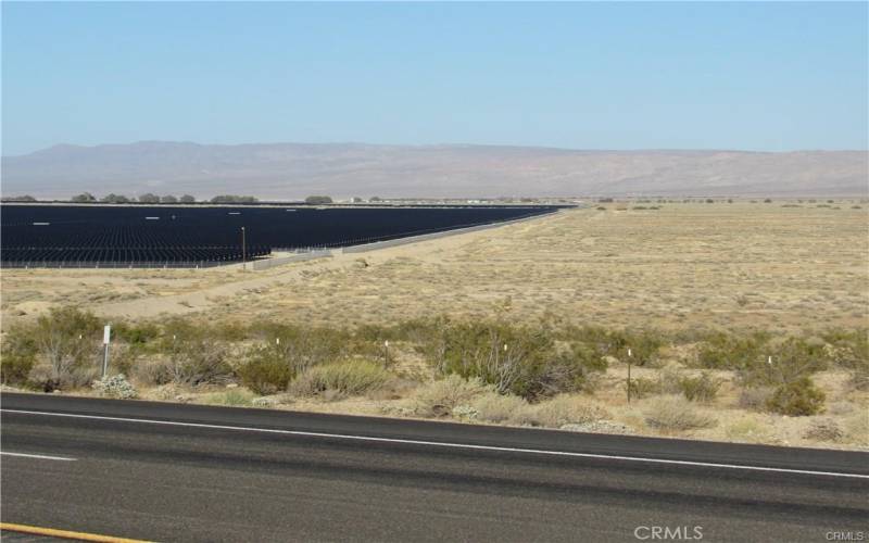
There is not an address associated with this parcel. What is reflected is the Parcel# 181-190-22-00-0 which is +/-29.58 Acres. Zoning is A-1(Agricultural). Located in Unincorporated Kern County in the area of Cinco Access via dirt Quartz Rd. Existing solar projects are adjacent. The North half of the North half of the Southeast quarter of Section 32, Township 30 South, Range 37 East, M.D.B. and M., in the Unincorporated Area of County of Kern, State of California, according to the Official Plat thereof. Excepting therefrom that portion of said land conveyed to the State of California, by Deed recorded November 12, 1929 in Book 314, Page 88 of Official Records. Also excepting therefrom that portion of said land conveyed to the City of Los Angeles, a Municipal Corporation, by Deed recorded February 18, 1969 in Book 4243, Page 921 of Official Records.